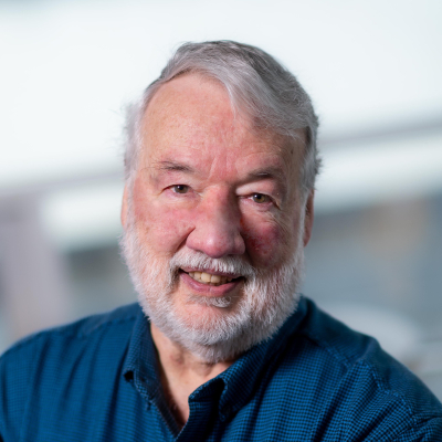
Bob Woodham

Academic Information
BA, UWO (1971), SM, MIT (1974), EE, MIT (1974), Ph.D., MIT (1977); Research Scientist, MIT (1977-78); Assistant Professor, University of British Columbia (1978-82); Associate Professor, University of British Columbia (1982-90); Fellow, Canadian Institute for Advanced Research, (1984-1994); Department Head, University of British Columbia (1995-2003); Professor, University of British Columbia (1990-).
Interests
My goal is to make intelligent machines that see. Seeing is defined as the ability to interpret 2D images of a 3D world sufficiently well to carry out a specified task in the 3D world. Research consists of selecting a task, identifying the essential constraints of the task, defining computations that make vision possible for the task and implementing proof-of-concept computer systems to study performance in both real and experimental situations.
My primary research contribution has been to demonstrate that radiometric constraints can be formulated and exploited in machine vision. Methods based on photometric stereo have been developed for determining dense representations of surface shape, including surface curvature. This work has application to the robot vision tasks of object recognition, localization and inspection. Current work extends to motion. Photometric stereo uses multiple light sources. Multiple light sources also support the determination of the optical flow created when objects (or a robot perceiver) are in motion. Current work has application to the tasks of deformable object measurement and robot navigation in dynamic environments.
Another test-bed for my research is the computer interpretation of remotely sensed data. The practical goal is to extend the range of terrain and imaging conditions that can be handled by automatic image analysis systems. Recent work anticipates the routine availability of high spatial resolution (1m per pixel or better) satellite images for forest management and demonstrates the ability to recognize individual trees in such images.
The availability and demand for remotely sensed imagery and other spatially-referenced data is increasing dramatically. The challenges for data retrieval, analysis and interpretation are substantial. I collaborate with researchers in databases, computational geometry and knowledge-based systems in the area of visual information management.